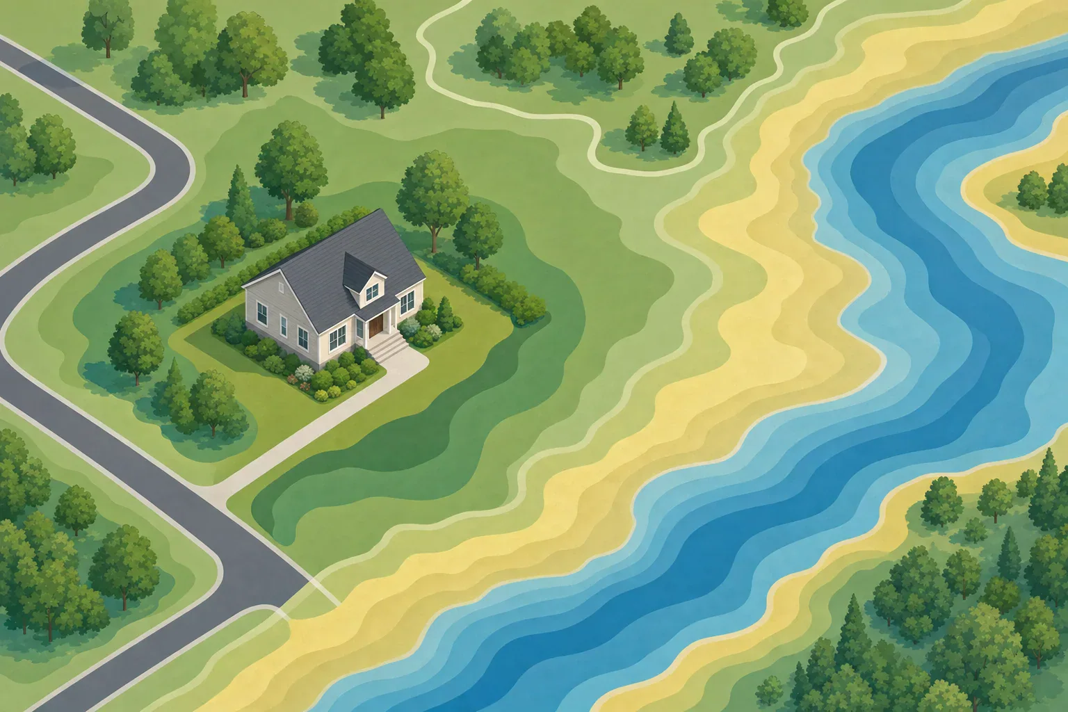
Quick answer: Use FEMA’s Flood Map Service Center to search an address and view the current effective flood map. Confirm the building location, flood-zone label, legend, panel number, and effective date. The map shows mapped regulatory flood hazards, but it cannot prove whether a specific home will flood or establish its elevation.
Which official flood map should you use?
For FEMA flood maps by address, start with the FEMA Flood Map Service Center (MSC). FEMA identifies the MSC as the official public source for National Flood Insurance Program (NFIP) flood-hazard information.
Use the effective Flood Insurance Rate Map (FIRM) for the current NFIP regulatory designation. The digital National Flood Hazard Layer presents much of the same mapped hazard information online. Preliminary maps can provide an early view of proposed changes, but they may change and are not the current effective designation. Historic maps are useful for research, not for determining the current designation.
The MSC may also provide Flood Insurance Studies and Letters of Map Change (LOMCs). If the map result seems inconsistent with property records, check whether a LOMC applies to the structure before drawing conclusions.
How to check FEMA flood maps by address
- Search the full address. Include the street address, city, state, and ZIP code when available.
- Verify the returned location. An address marker is a starting point, not proof of a building-level determination. Confirm the street, nearby roads, and the building location shown on the map.
- Open the effective map information. Record the flood-zone designation exactly as displayed.
- Read the legend for that map. Colors, shading, lines, and patterns must be interpreted using the applicable legend.
- Record the panel number and effective date. Save or print the map view and note the date you checked it.
- Look for additional mapped details. Note a floodway, Base Flood Elevation (BFE), coastal designation, or a boundary near or across the building.
- Review separate products when needed. Keep preliminary products and LOMCs distinct from the effective map result.
If the search does not clearly show the property, or the boundary is close to the building, contact the community floodplain administrator or building department for local guidance.
What the flood-zone result shows
FEMA defines a Special Flood Hazard Area (SFHA) as land subject to the 1%-annual-chance flood. The annual chance is a probability, not a schedule; the older phrase “100-year flood” does not mean a flood happens only once every 100 years.
- Zone A: An SFHA where a BFE generally is not shown on the map.
- Zone AE: An SFHA where BFEs generally are shown.
- Zones V and VE: Coastal high-hazard areas associated with wave action as well as flooding. Zone VE generally includes BFEs.
- Shaded Zone X: An area of moderate mapped flood hazard, commonly including the 0.2%-annual-chance flood area.
- Unshaded Zone X: An area of minimal mapped flood hazard on the effective FEMA map. It is not a finding of zero flood risk.
- Regulatory floodway: A mapped portion of a riverine floodplain reserved to carry floodwater. Local development rules may apply.
A Base Flood Elevation is the modeled elevation of the base flood at a mapped location. It is not the elevation of the home’s lowest floor, foundation, or enclosed area. A building-to-BFE comparison may require an Elevation Certificate, survey information, and review by the appropriate local official or other required party.
What an address result cannot establish
A FEMA map provides valuable regulatory hazard information, but it is not a prediction for one home. FEMA materials also note that flood maps cannot show every localized flooding problem, including some drainage and storm-sewer issues.
The address result alone cannot establish:
- Whether or when a particular building will flood
- The actual elevation of the building or its lowest floor
- The depth of water at or inside the building in a future event
- Every drainage, groundwater, storm-sewer, or small-stream hazard
- Future conditions after changes to development, drainage, erosion, or weather patterns
- A final flood-insurance premium, coverage decision, or lender requirement
Map scale, available topographic data, and address geocoding can make a boundary appear more exact than it is. Do not decide that an entire lot or building is in one zone based only on an address pin. Local floodplain offices may have elevation records, permit files, drainage studies, flood-history information, or local procedures that are not apparent in the national map search.
Finding-to-action guide
| Map finding | Calm next action |
|---|---|
| Zone A, AE, V, or VE | Ask the lender or insurer what applies to the building. Contact the local floodplain office and ask whether a BFE, Elevation Certificate, LOMC, or local requirements are relevant. |
| Shaded Zone X | Recognize the mapped moderate hazard. Ask about flood-insurance options and check local drainage and flooding history. |
| Unshaded Zone X | Do not describe the result as “no risk.” Check local stormwater concerns, past flooding, and any preliminary-map information. |
| Boundary crosses the lot or appears near the building | Do not decide from the pin or parcel alone. Request local confirmation and review available elevation, survey, and property records. |
| Preliminary map differs from the effective map | Record both results separately. Ask the local floodplain office about the map-review process and whether a proposed change may become effective. |
| Effective map appears inconsistent with records | Check for existing LOMCs and elevation documentation. Obtain the documentation or professional review required for any loan, permit, insurance, or FEMA map-change process. |
What homeowners and renters should do next
Clarify insurance and lender questions
Standard homeowners and renters policies typically do not cover flood damage. Flood insurance may be federally required when a building in an SFHA secures a loan from a federally regulated or insured lender, and a lender may set its own requirements. Coverage, waiting periods, premiums, and lender decisions are property- and policy-specific. Review NFIP guidance on buying flood insurance and ask a licensed insurance professional or your insurer about available building or contents coverage.
Renters can use the map result to understand mapped hazard and ask about coverage for belongings. A landlord’s building coverage does not ordinarily insure a renter’s personal property.
Confirm unclear property details
Contact the community floodplain administrator, building department, or emergency-management office if the boundary is close to the building, the address marker seems misplaced, or preliminary and effective products differ. Ask whether the community has an Elevation Certificate, survey, flood-history information, drainage records, or a LOMC for the property.
Make a proportionate flood plan
Regardless of the mapped zone, learn how you will receive local alerts, identify routes toward higher ground, and decide where you would go if officials order an evacuation. The National Weather Service flood preparedness guidance recommends planning communications, supplies, routes, and evacuation steps before flooding occurs. During an emergency, follow current instructions from local authorities.
Printable address-check checklist
- ☐ Full address entered and correct building location checked
- ☐ Effective map identified
- ☐ Flood zone recorded exactly
- ☐ Shaded or unshaded Zone X status recorded, if applicable
- ☐ Map legend reviewed
- ☐ Panel number and effective date recorded
- ☐ Floodway checked
- ☐ BFE recorded only if displayed
- ☐ Building elevation not assumed from the BFE
- ☐ Preliminary products checked separately
- ☐ LOMCs checked, when relevant
- ☐ Local floodplain office contacted if the result is unclear
- ☐ Insurance and lender questions documented
- ☐ Local alerts, higher-ground routes, and household plan reviewed
Frequently asked questions
Is FEMA’s Flood Map Service Center the official flood-zone map by address?
Yes. FEMA identifies the Flood Map Service Center as the official public source for NFIP flood-hazard information. Use the effective map for the current regulatory designation, while treating preliminary and historic products as separate reference material.
Does a Zone X result mean a home cannot flood?
No. Unshaded Zone X generally indicates minimal mapped flood hazard, while shaded Zone X commonly indicates moderate mapped hazard. Neither label proves that a particular building will never flood, because FEMA maps do not capture every local flooding source or future condition.
What should I do if a FEMA flood-zone line appears to cross my house?
Do not rely on the address pin alone. Contact the local floodplain office and ask about available elevation records, surveys, Elevation Certificates, or LOMCs. Use the documentation required by the lender, insurer, local authority, or FEMA process before making a property-level decision.
- Simple checklists and realistic planning
- Water, power, lighting, and pantry basics
- Family plans (kids, pets, seniors) and seasonal prep
Affiliate disclosure
As an Amazon Associate, we earn from qualifying purchases. Some links on this site may be affiliate links. If you buy through these links, we may earn a small commission at no extra cost to you. This helps support our content. Learn more.